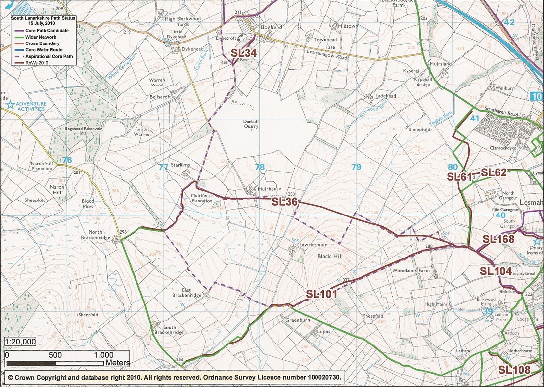
Paths around Boghead
The image is a map showing paths around the village. The right of way from the phone box to the quarry exit road is shown as is the beginning of the path through Blackwood estate.
I knew of the track leading up past Starbirns to North Brackenridge but I haven’t walked it for years – the others are new to me.
The map has been posted in the Info pod.
There is also available a list of walks in the Stonehouse area if you are interested!